Specialists for Surveying Brisbane and Queensland
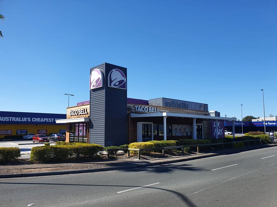
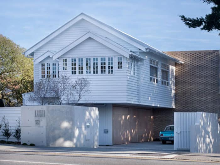
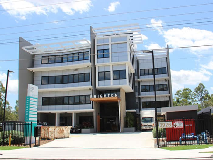
Trusted By


Professional and Informed Surveying
Accurate analysis. Informed decision-making. Enhanced professional planning. Elimination of mistakes.
Our mission is to be the best town planners and surveyers in Queensland by providing high quality surveying services. For over 10 years, we have been providing different types of surveys, certificates and building plans. Our process is one of the most efficient on the market. So if you’re looking for top-quality surveyers, then call us on 1300 275 266.
Quick links to useful content on the page:
Our surveying services range
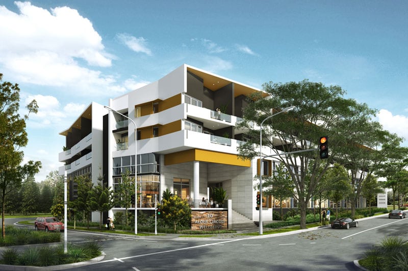
Having the disciplines of town planning and surveying working together as a team has ensured the seamless transition from development application to plan registration and the issuing of new titles that developers are looking for. Our survey services include:
Surveys
- Contour and detail surveys
- Boundary surveys
- Services set out surveys
- As-constructed surveys
- Ground level surveys
- Lease surveys
- Cadastral surveys
- Construction setout surveys
- Identification surveys
- Complex surveying and titling
- Standard format surveys
- Multi-staged Subdivision surveys
Certificates
- Form 12 certificates
- Height certificates
- Location certificates
- Compliance certificates
Plans
- Building format plans
- Lease Plans
- Volumetric Plans
What is surveying?
It is the process of measuring and mapping the physical features of a piece of land or an area. It involves using specialised equipment such as total stations, GPS receivers, and levels to determine the location, height, and orientation of points on the earth’s surface.
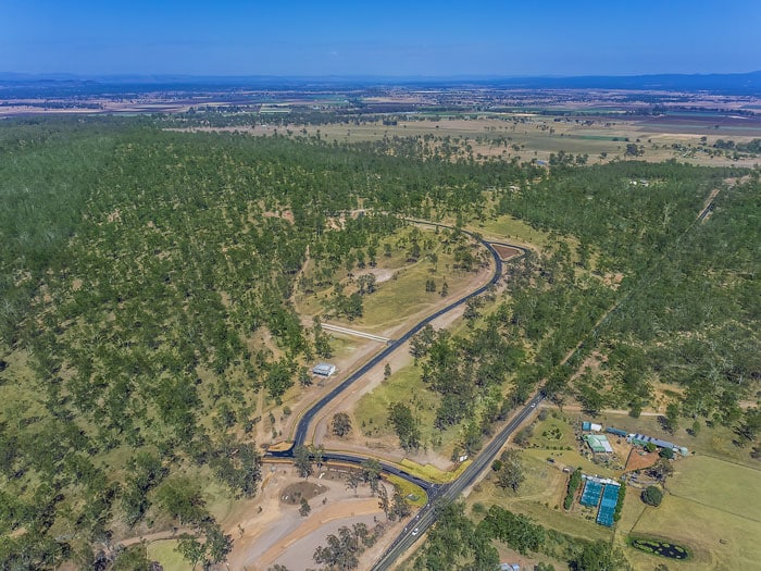
This process is used in a variety of industries, including civil engineering, construction, mining, and forestry. Some common applications include land boundary determination, topographic mapping, construction layout, and monitoring the deformation of structures. The data collected during is used to create maps, plans, and 3D models that help engineers, architects, and construction professionals make informed decisions about their projects.
Here at bplanned and surveyed, our surveyors are trained professionals, all registered with the Surveyors Board of Qld. They are experienced with the knowledge, skills, and tools to undertake all your requirements. These may include:
- Land boundary disputes: Our surveyors can accurately determine the location of property lines and settle boundary disputes.
- Construction projects: We can set out buildings, roads, and other structures so they are properly located and aligned according to the plans.
- Property transactions: When buying or selling property, it’s important to have an accurate understanding of the property boundaries, as well as any easements, rights-of-way, or other encumbrances.
- Control monitoring: We can monitor changes over time, such as the movement of buildings, structures and natural surfaces and features.
We have a dedicated survey team, headed up by director and cadastral surveyor Jim Goodwin, who has over 20 years of experience in the industry. To learn more or discuss your survey requirements, call in on 1300 275 266.
How much does it cost to undertake a survey?
The cost depends on the type of survey required and the area of the parcel required to survey.
The following are some examples of the expected fees charged for some of our most requested services.
| Type of Survey | Expected Fees |
CONTOUR & DETAIL SURVEY For a standard residential Lot (600 – 800 sqm) | The basic fee is $1800 + GST |
IDENTIFICATION (BOUNDARY) SURVEY For a standard residential Lot (600 – 800 sqm) | The basic fee is $2850 + GST |
BUILDING SET OUT SURVEYS For a standard residential house assuming an identification survey has already been completed. | The minimum fee to upload plans and set out the outline of the ground floor is $750 + GST |
bplanned and surveyed can provide you with a fee proposal on request. When requesting a fee proposal, a detailed scope of works should be provided, however in consultation with our team, we can advise you on a proposed scope of works and prepare a fee proposal to match.
Frequently Asked Questions About Surveying in Brisbane
What is the difference between a boundary, contour, and feature survey?
Cadastral (or boundary) surveys are typically carried out by registered cadastral surveyors who use specialised equipment to measure and mark the boundaries of a particular piece of land. These surveys may involve the creation of new boundaries, the re-establishment of existing boundaries, or the identification of boundary discrepancies or encroachments.
A contour survey, also known as a topographical survey, is a survey that measures and maps the elevation of the land. It shows the height and location of natural and man-made features, such as hills, valleys, streams, roads, buildings, and other structures.
A detail survey, also known as a feature survey, is a survey that records the precise locations and dimensions of all features on a piece of land, including buildings, fences, trees, utility poles, and other features.
Both contour and detail surveys are essential for designing and planning any construction or development project.
Why do surveys matter?
Land surveying services matter because they provide accurate measurements and maps of the land, which are essential for property ownership, construction and development, legal disputes, safety, and environmental protection.
How our surveyors can help you
bplanned and surveyed is registered with the Queensland Surveyors Board with a Cadastral and Consulting Endorsement. Our director, Jim Goodwin has a full accreditation with the Department of Resources to examine and endorse survey plans.
Our survey team can help you in various ways:
- Property boundary determination: Help you determine the exact location of your property boundary, which is essential for building structures, selling or purchasing land, and resolving disputes with neighbours.
- Site analysis and planning: We can help you analyse the site and plan for the construction of buildings, roads, and other infrastructure.
- Construction and engineering: We can provide support during the construction process by marking the location of buildings, roads, and other infrastructure, and also provide information about the elevation and slope of the land, which is important for drainage and other engineering considerations.
- Mapping and GIS: We can help create accurate maps and geographic information systems (GIS) that can be used for various purposes, such as urban planning, environmental management, and emergency response.
bplanned & surveyed has both town planners and surveyors who can work together to ensure that sensitive deadlines are met throughout your project. This may include the preparation of specific documents for local council review and approvals at various times throughout the development process.
If you’re in need of surveyers, please call us on 1300 275 266. You can also request for a quote online and we’ll get back to you as promptly as possible.