Contour and Detail Survey Brisbane and Queensland
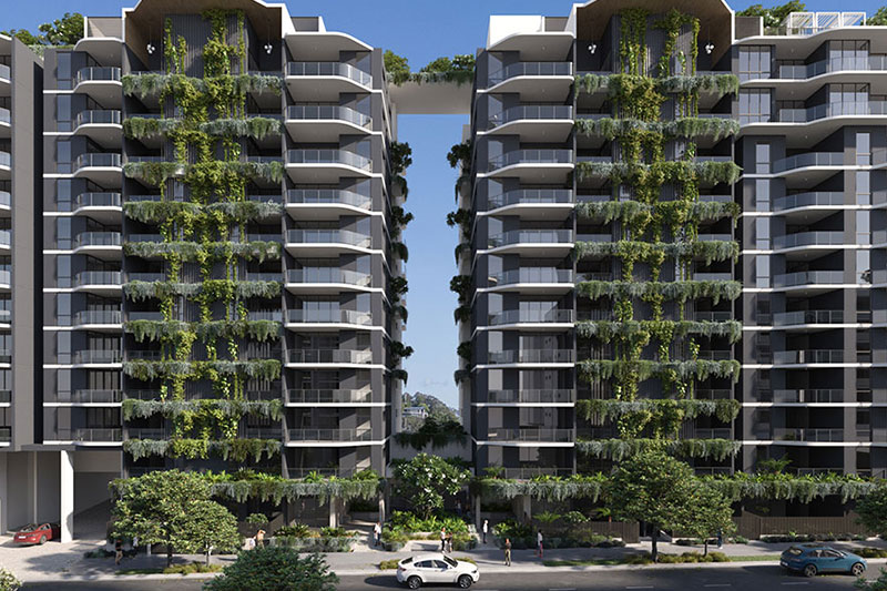
Trusted By


Contour and Detail Survey
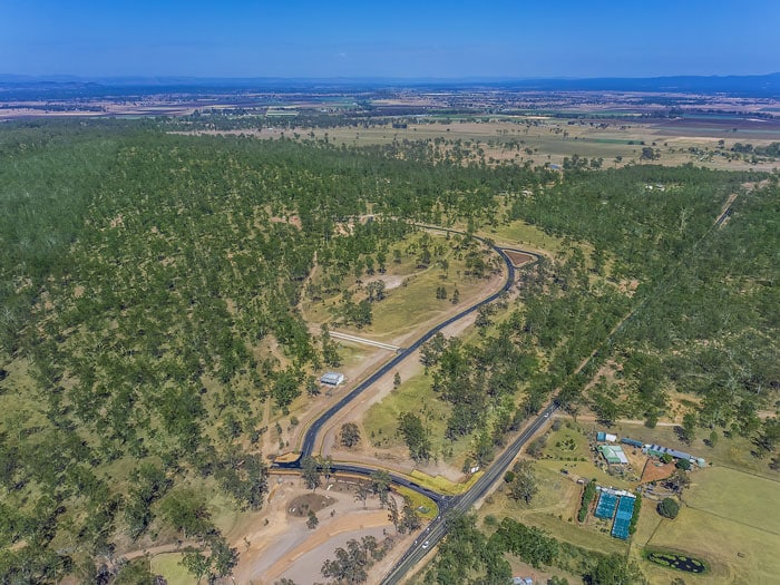
A Contour and Detail Survey is used to determine the location of natural and man-made features in an area including the natural elevation of the land, vegetation, buildings, and land utilities such as council services, fences, roads, landmarks and so on.
What is a Contour and Detail Survey?
Contour and Detail Surveys are generally required when you are planning to construct or extend a building, or new roads or when you want to present information about your land for the purposes of the proposed development to the local council. A contour and detail survey will result in a site plan that shows all relevant site information, including site levels, location of features, urban services and infrastructure, existing trees, existing buildings, structures and retaining walls and frontage works.
Why it is important to have a Contour & Detail Survey?
Contour and Detail Survey drawings are required before you can start on the design phase of your project. Your chosen designer/engineers require these plans to design new construction work for buildings, extensions, roads or new services for proposed subdivisions without interfering with existing infrastructure. It assists in the determination of the number of site works required, including the volume calculations for soil removal and the height and costings of retaining walls. Town planners require these drawings to form part of their development application submission to the Council.
Frequently Asked Questions About Contour and Detail Survey in Brisbane
What are the advantages of a contour survey?
Here are some of the most important advantages:
Advantages of contour surveys
- Provides accurate information. It provides an accurate representation of the land, including any changes in elevation, which is essential for construction and engineering projects.
- Helps with planning and design. The information obtained from a contour survey can be used for planning and designing structures, such as buildings, roads, and drainage systems.
- Assists with regulatory compliance. It can ensure that a proposed construction project meets local government regulations and building codes.
- Can identify potential hazards. It can identify potential hazards such as steep slopes or unstable ground, allowing for appropriate measures to be taken to prevent accidents or damage.
What are the principles of contouring in a survey?
The principles of contouring in a survey are as follows:
- Contour lines connect points of equal elevation. Each contour line represents a specific elevation, and the spacing between the lines indicates the slope of the land.
- Contour lines never intersect. If there is a vertical cliff or overhang, the contour lines will be drawn with a break or gap where the cliff or overhang occurs.
- Contour lines close on themselves. If the area being surveyed is a hill or a valley, the contour lines will form concentric circles around the peak or bottom of the valley.
- Contour lines indicate the shape of the land. The spacing and direction of the contour lines provide information about the shape of the land. Closer contour lines indicate a steeper slope, while widely spaced contour lines indicate a flatter slope.
- Contour lines must be accurately measured and recorded. This is critical to producing an accurate contour map.
- Contour lines are used for planning and design. Contour maps are useful for planning and designing construction projects. They can also be used to identify potential hazards and to ensure compliance with local government regulations.
The principles of contouring in a survey in Brisbane involve accurately measuring and recording the elevation of points on the ground and then drawing contour lines to connect points of equal elevation. The contour lines provide information about the shape of the land and can be used for planning and design purposes.
Why bplanned & surveyed Pty Ltd for Contour & Detail Surveys?
We understand the requirements of the various design consultants that will be using this survey information. We, therefore, ensure that the accuracy and the content of the survey is appropriate to the design criteria ensuring you don’t waste valuable time and money on the collection of this data.
We also prepare proposed subdivision layout plans from these contour and detail surveys suitable for inclusion in the development application to Council.
If you would like more information about our contour and detail surveys or to discuss your next project, call us now on 1300 275 266.